Community Corner
Blizzard-Like Conditions Friday; Extreme Cold Coming
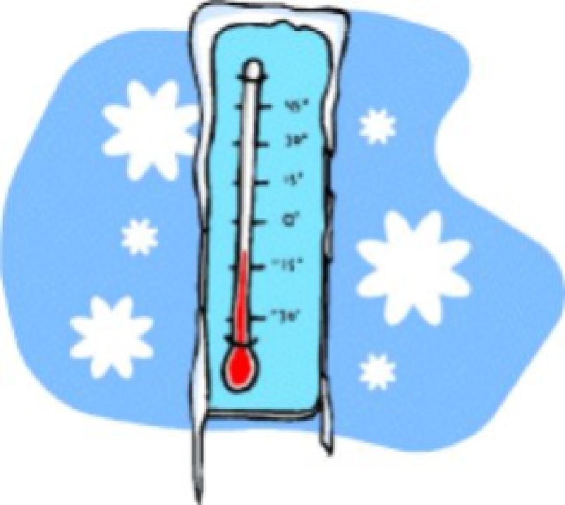
We should gets some reprieve from the extreme cold temperatures this weekend but dangerously cold weather will hit as we head back into the work week.

The National Weather Service in Chicago has issued a winter weather advisory for much of the Chicago suburbs, including Cook County, for 4 p.m. Friday through 9 a.m. Saturday.
Blowing and drifting snow is expected to begin Friday afternoon and could cause blizzard-like conditions Friday evening through Saturday morning, according to the NWS.
Winds will shift to the south Friday morning with speeds approaching 20 to 25 mph and wind gusts as high as 35 mph. Open and rural areas could be hardest hit by the blowing and drifting snow with visibility reduced to zero at times, according to the National Weather Service.
The National Weather Service advises motorists to use caution while traveling.
And while the Chicago area should get some reprieve from the extreme cold temps over the weekend, the start of next week will bring dangerously cold weather.
Near record low temperatures with frigid wind chills are likely Sunday night through Tuesday night, according to the NWS. Wind chill readings as low as 40 to 45 below zero are possible Monday and Tuesday morning with highs not likely to rise above zero.
Check out Palatine's full forecast above.
Get more local news delivered straight to your inbox. Sign up for free Patch newsletters and alerts.